Here’s a report from Peter Carr, the walk leader.
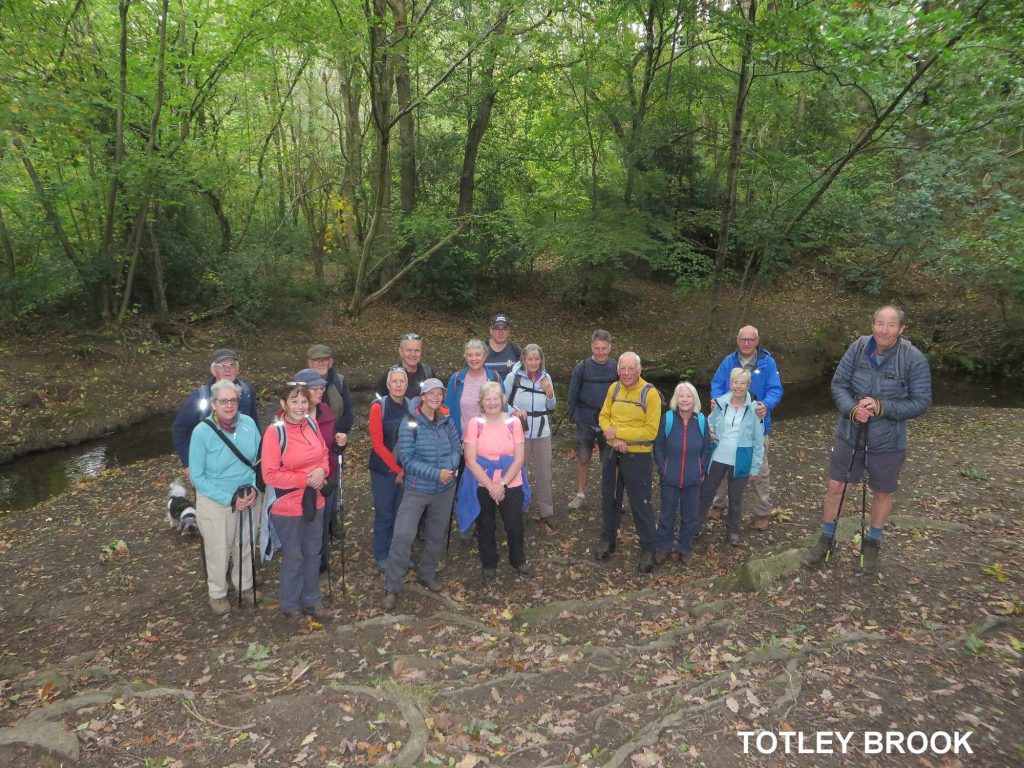
Starting from St. Andrews Church Hall on a Tuesday morning of the month where you can enjoy a hot drink and some toast (other alternatives are available) was a good start to the day on what was originally described by Glyn in our winter walk programme as ‘Breakfast Rambles’. So it was that 19 of us gathered there to start the day’s adventure. We had three new walkers join us, a couple from Hasland who had seen the walk advertised in the magazine ‘Chesterfield Twist’ and Stuart who cycled to the start (and home), who had seen the event advertised on one of the local noticeboards.
Our route took us to Barnes Lane and along the footpath to Northern Common, a section that DFBS cuts back the vegetation in the summer months in an arrangement we have with Dronfield Barn Rotary Walk. We take care of the stretch between the top of Mickley Lane and Bowshaw, probably a couple of miles which we’re always looking for help if you can spare some time.
From there it was along the footpath on the road to Tinkers Corner at Bradway, named after Tedbar Tinker, farmer and quarryman who lived in the area and is still remembered through his name marking the crossroads.
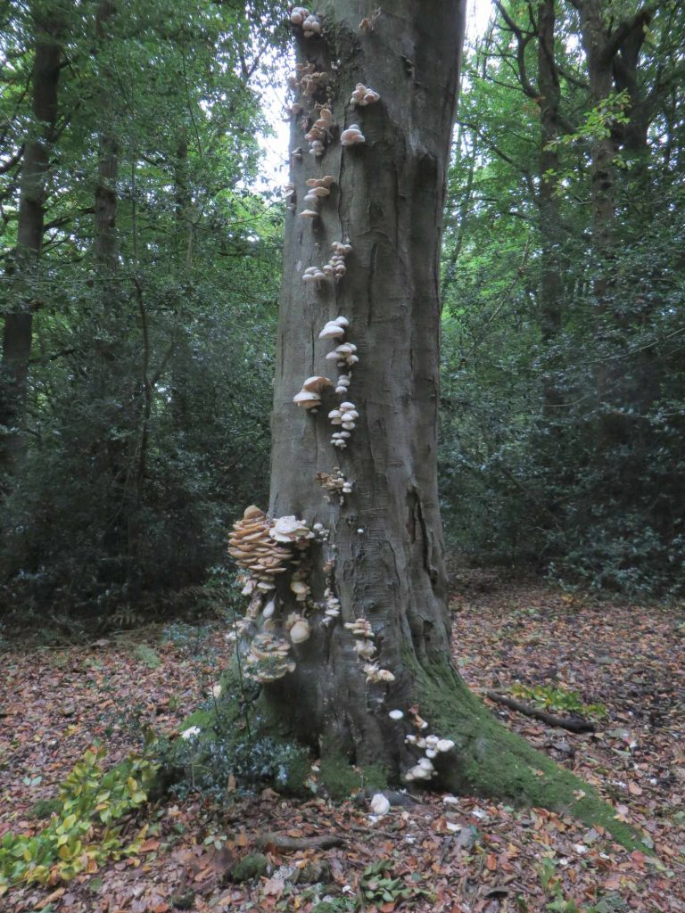
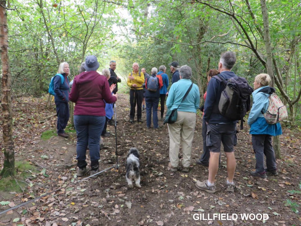
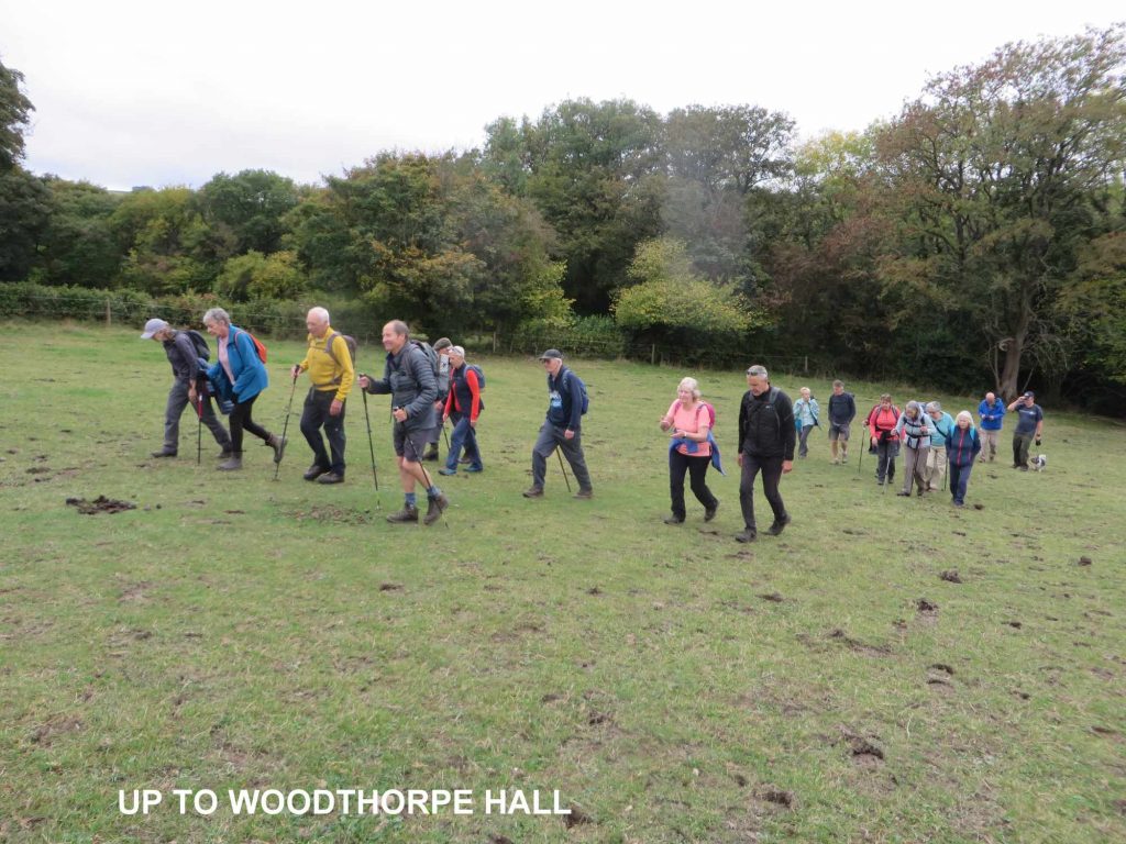
After meeting and becoming mixed up with a group of runners at this point where there was some consternation as to whether our group was expected to join them, we quickly uncoupled ourselves to follow the bridleway to proceed downhill to the side of the Shepley Spitfire and pick up the bridleway which leads to Fanshawe Gate Lane. A short way along we turned into the Totley Brook and Gillfield Wood. A brief stop in a woodland dell to replenish ourselves and we continued through Gillfield Wood with its history of coppicing and bark used in the leather industry all carried on here.
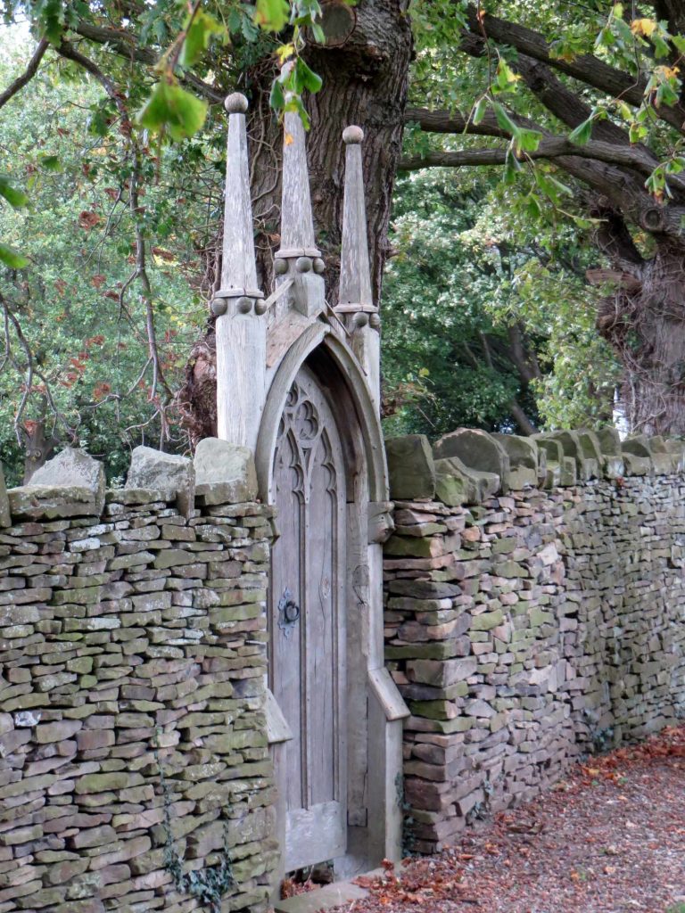
All uphill now through meadow to Woodthorpe Hall, a 17th Century house built or enlarged using materials from the largely dismantled Fanshawe Gate Hall and in the family of Shepley for the past 100 years or so. An excellent wedding venue for those interested. You can find more details of its history by clicking on this link.
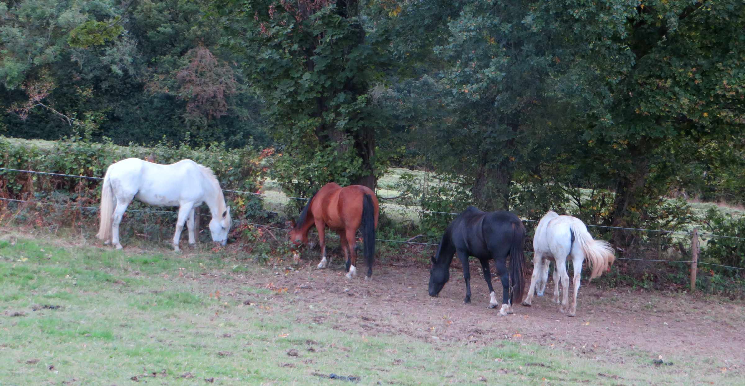
It was clear the group was ok as we walked uphill passing the horses in the field meadow as the chatter didn’t stop; always a good sign that the group is coping with the ascent.
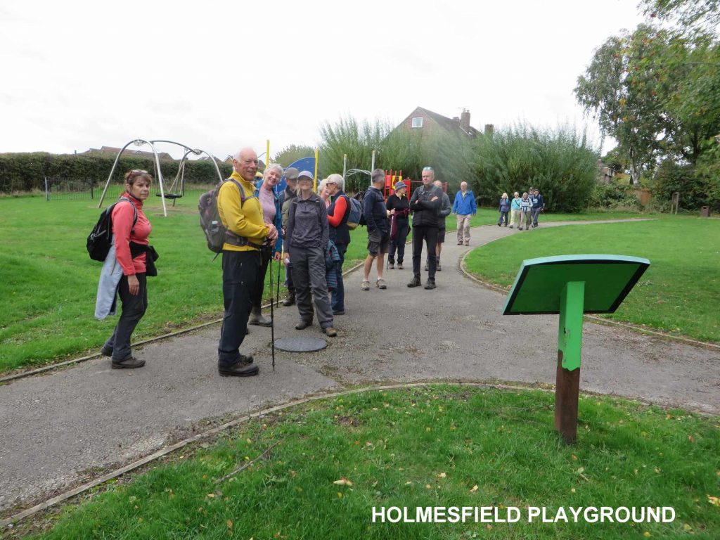
From there we headed though Holmesfield Park Wood to the highest point of the walk being St. Swithin’s Church at Holmesfield, located at a height of 240 metres above sea level with a flag flying above the church tower. The point had to be made that looking east there is no higher ground until you reach Rosvelt in the Urals, Russia, something I learned from a Roger Redfern book. The point was made as to whether those in the Urals made an opposing point looking west towards Holmesfield.
A check of the oldest gravestones here in the graveyard will reveal a history of occupations connected to the farming industry, a sign of the history of Holmesfield.
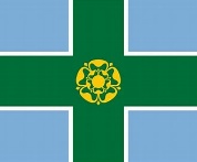
The flag atop the church tower attracted interest and some conversation, being on a blue background with a green cross and a gold emblem in the middle. The blue background represents the rivers and open waters, the green cross the open countryside and the Tudor rose gold in the centre symbolises the quality of Derbyshire. So, there we have it the flag of Derbyshire:
From Holmesfield Church it was through the estate, playground and Kitchen Wood to return to familiar surroundings and a well-earned lunch. All seemed to have enjoyed the experience. No casualties other than Graham banging his head on a low branch and cutting his head. Fortunately, a piece of lint and some fluid did the trick to make sure he was ok.